
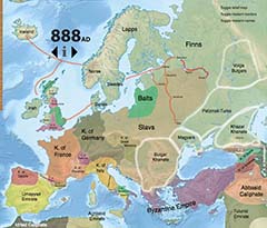
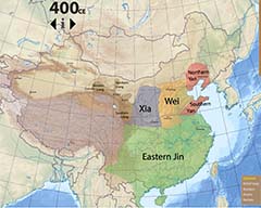
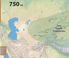
Don't expect these maps to be authoritative (although I do take care to make them as accurate as I can). Consider them more as notes I'm taking, in map form, as I study history.
Use the scroll wheel to zoom in and out, and hold the mouse down to move the map around.
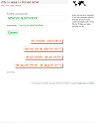
Convert GPS coordinates between different formats for latitude and longitude data. Includes formats such as those required for Google Earth/Maps, Flickr, Adobe Bridge and other applications.